Brian McNoldy, a tropical cyclone expert at the University of Miami Rosenstiel School of Marine, Atmospheric, and Earth Science, set out to create a visual tool to inform and remind faculty, students, and visitors about the impact of storm surge from hurricanes on the Rosenstiel School campus.
“I first had the idea for a campus-specific storm tide history marker in 2019,” said McNoldy, a senior research associate in the Department of Atmospheric Sciences. “It seemed like it could be a nice visual public outreach feature for our campus, one that would utilize my background in hurricane history, tides, and sea level rise.”
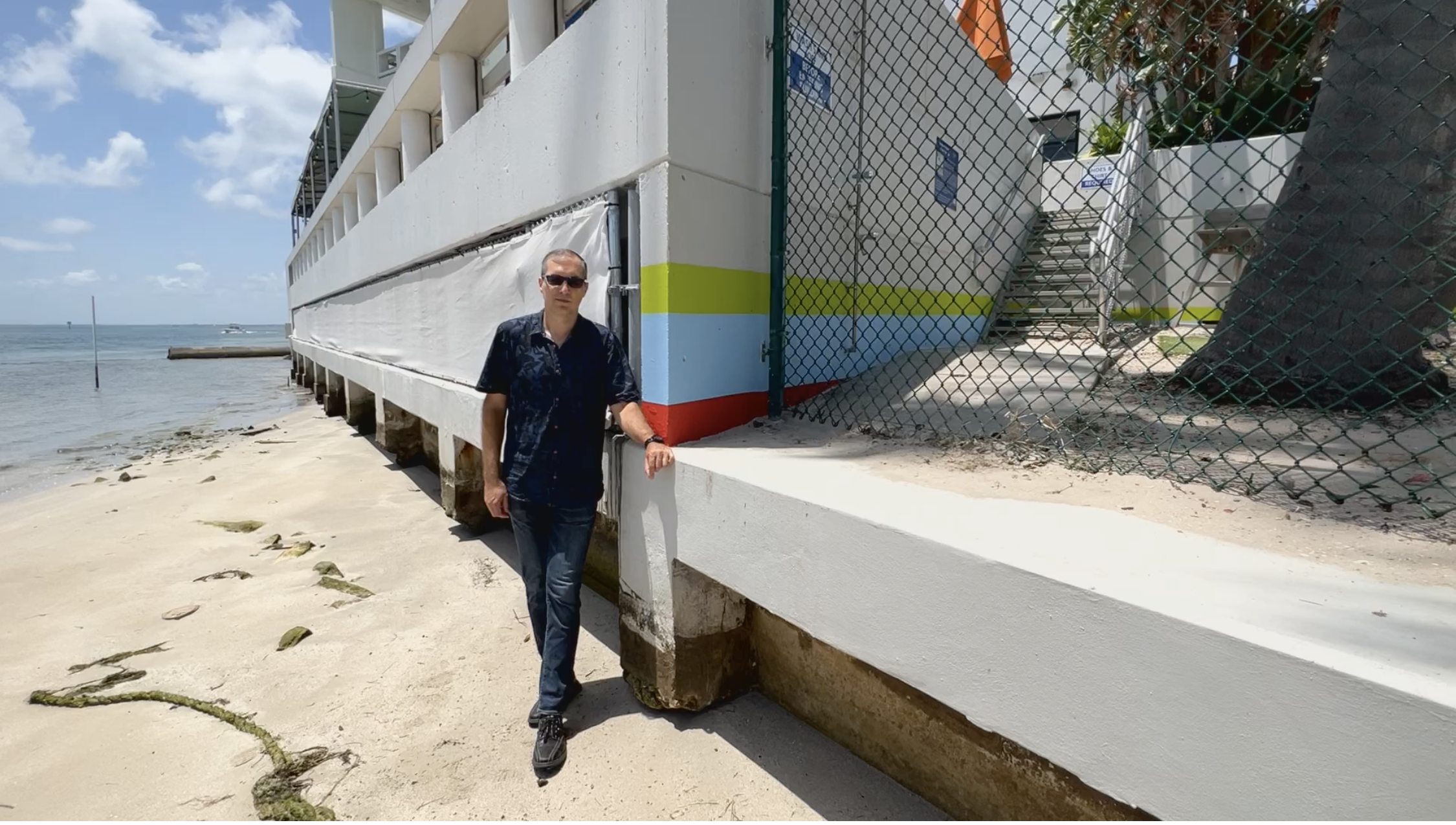
Approved by Rosenstiel School Dean Roni Avissar and several faculty members, McNoldy’s visual tool features a series of red, blue, and green painted stripes on the Marine Science Center building on the edge of the Rosenstiel School campus, allowing visitors to the site to see and learn how hurricanes Irma (2017), Betsy (1965) and Andrew (1992) impacted the campus with storm surge and tidal elevations. A sign above the painted storm stripes includes a QR code to a webpage, which provides additional storm tide elevations, local sea level rise history and projections, and a primer on the various vertical reference levels.
The webpage is part of the Rosenstiel School’s comprehensive Hurricane Hub website, which is curated by McNoldy and accessible to the general public.
“Determining storm tide elevations prior to the NOAA tide gauge installation in 1994 required some hurricane archaeology,” said McNoldy. “Looking for old technical notes, reports, or publications that had any mention of water-level measurements on this corner of Virginia Key, and then carefully translating their vertical reference levels to a uniform modern reference level was an interesting project.”
