A new study led by Ivenis Pita, a doctoral student at the University of Miami Rosenstiel School of Marine, Atmospheric, and Earth Science and working at UM's Cooperative Institute for Marine and Atmospheric Studies and NOAA’s Atlantic Oceanographic and Meteorological Laboratory, is the first to estimate the AMOC and heat transport at 22.5°S in the South Atlantic, demonstrating the importance of sustained in situ observations to monitor the state of the AMOC.
The AMOC is an important part of the global ocean circulation system that moves water northwards and southwards within the Atlantic Ocean, connecting upper and deep water flows across the globe. It controls the transport of heat, freshwater, carbon, and other properties across the basin, and the South Atlantic plays an important role in the stability of this system. Despite this importance, direct measurements of the AMOC are limited in the South Atlantic.
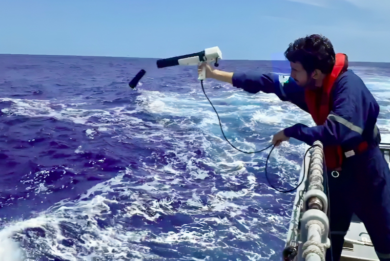
This study presents a new mapping method to estimate the AMOC at 22.5°S. The method is based on sustained ocean observations: a high-density expendable bathythermograph (XBT) transect to resolve the strong currents in the western boundary; low density Argo profiling floats across the basin; and satellite sea level data to determine the mapping parameters and errors associated with these estimates. This observing system was named AXMOC (for Argo-XBT-MOC), and it can be applied for other regions in the globe.
The study shows that the deep southward transport at 22.5°S is separated into two flows along the western and eastern boundaries near 2,500m depth. It is also shown that the AMOC is stronger during the Southern Hemisphere fall/winter and weaker in spring, and its year-to-year variability is mostly driven by changes in the western boundary currents. In comparison with estimates based on historical cross-basin hydrographic transects from the Global Ocean Ship-based Hydrographic Investigation Program (GO-SHIP), which has surveyed the region near 22.5°S every decade since the early 1990s, no significant long-term AMOC trends have been observed over the past 30 years.
The new mapping method captures westward propagating features, coastal sea levels, and boundary currents, as well as the AMOC and its transport of heat, highlighting the importance of high-density XBT data at the western boundary of the South Atlantic.
“This study features the AXMOC, a cost-effective AMOC observing system that could be easily replicated in different regions of the ocean that have sustained in situ observations. Currently, there are different AMOC observing systems that use different methods and have different limitations. This is the first step towards an observing system able to estimate the overturning circulation in different regions of the Atlantic Ocean using the same technique.” said Ivenis Pita, lead author of the study.
Establishing the AXMOC at 22.5°S bridges the two existing AMOC observing systems located at the edges of the South Atlantic at 11°S and 34.5°S. Analyzing the AMOC’s behavior at different latitudes allows for estimating the amount of heat and salt exchanged within the basin, which may impact climate and weather patterns across the globe. The continuation of this monitoring effort at 22.5°S might also provide early evidence of changes in the AMOC in the Northern Hemisphere.
The intensity of the AMOC is one of the main sources of uncertainties in climate model projections, which highlights the importance of sustained observational data for better AMOC predictability. However, building new observing systems can be a daunting task due to operational and financial costs. The AXMOC relies on existing sustained observations, like the one used in this study, and presents an opportunity to enhance our understanding of the AMOC with no additional costs.
Adapted from a NOAA AOML news story
In situ measurements used in Pita et al. (2024). The locations of the Argo and XBT profiles are represented by blue and red dots, respectively. The reference transect at 22.5S (AXMOC) is represented by the black line, with end points near Rio de Janeiro (Brazil) in the west and Walvis Bay (Namibia) in the east.shown by cyan dots. The inset shows the schematic circulation at the surface (red arrows) and 2500-m depth (blue arrows) levels. The North Atlantic Deep Water (NADW - blue arrows) bifurcates north of 22.5S and flows along both boundaries.
