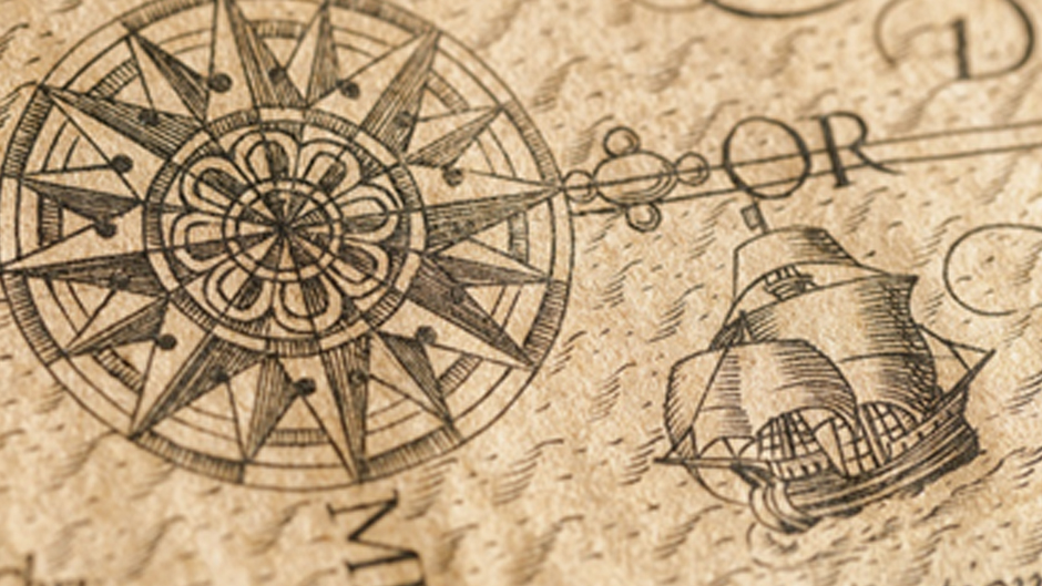
If you can remember the time before our phones guided us to our destinations using GPS technology and voice commands, you also remember the historical power of maps—the power to bring us together and assist us in our everyday lives, as well as the power to control outcomes and facilitate our darker drives. Maps chart our movements, record our history, and help shape our identities. The power of cartography has helped make our region, South Florida and the Caribbean, the unique and beautiful place it is today.
UM’s Lowe Art Museum, partnering with HistoryMiami Museum, Fortress Fine Art Storage, Jay I. Kislak and the Kislak Foundation Collection, Beaux Arts, and other generous supporters, is excited to invite you to the February 2nd opening of Antillean Visions: Maps and the Making of the Caribbean. The exhibit features nearly 200 rare, beautiful, and historically significant maps of the region, taking us from the earliest published view of the Antilles (1511) through the past five centuries of migration, commerce, conflict, and cultural production. These gorgeous pieces provide the viewer a visual meditation on colonial and post-colonial politics, the Caribbean’s unique economic history, indigenous and hybrid cultural productions, and aesthetic visions of the region including its long tradition as a tourist paradise.
The opening and reception on February 2nd begins at 7PM and is free to alumni and the community. Get your tickets today or call 305-284-5531. If you are not able to join us for this evening and are interested in a guided exhibition tour please contact mvey@miami.edu.

