University of Miami students, researchers, and professionals from the private and public sector gathered together last week to learn and share knowledge about the power of geographic information systems (GIS) technology at an all-day event organized by UM College of Arts & Sciences’ Department of Geography and UM Libraries.
GIS technology combines geographic coordinates and features with data that allow users to visualize and understand the spatial dimensions of complex relationships.
“Most geography faculty use GIS for their research,” said Dr. Diana Ter-Ghazaryan, a lecturer in the Department of Geography and the Director of the Geospatial Technology Program.
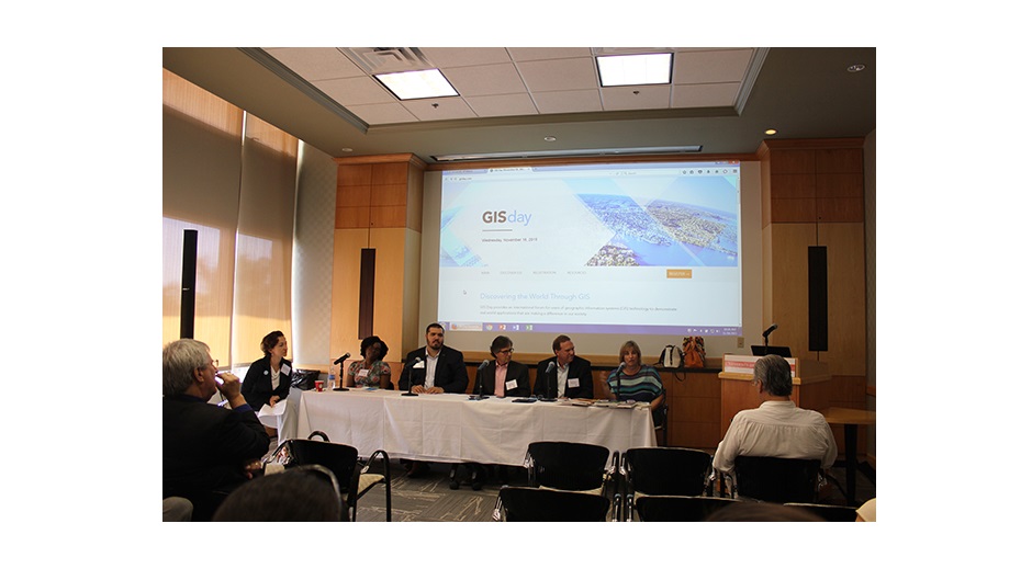
GIS technology is valuable to a strikingly wide range of scholarly topics, ranging from climate models to population demographics, and to Dr. Ter-Ghazaryan’s specialty, the spatial dimension of national identity.GIS Day 2015 began with the “Make a Map with GIS” workshop hosted by Abraham Parrish, the GIS specialist at UM’s Richter Library. After the workshop, a panel of professionals in the public and private sector hosted a career panel where guests who are curious about finding a job in GIS could direct their questions to experts in the field. One theme of the panel was the interdisciplinary nature of careers in GIS.
Derek Watkins, cartographer and graphics editor at The New York Times, gave the keynote address. Watkins uses GIS and other technologies to create maps and graphics for the newspaper’s front page. Some examples he gave included a map of a tornado’s path that swept through a small town in Oklahoma, a map visualizing the flow of guns from states with weak gun control into states with strong gun control, and a model of Osama bin Laden’s compound.
“Maps provide a concrete sense of events taking place in real places,” said Watkins.
UM faculty use GIS technology for different research purposes – Geography Professor Justin Stoler uses GIS to map the economics of water in Ghana; Chance Scott of UM's Center for Computational Research demonstrated how he uses GIS within the context of several research projects that the Center is responsible for, and Associate Professor of Biology Kathleen Sullivan Sealey showed how she uses GIS in her ecological research in the Bahamas.
The Department of Geography offers both undergraduate and graduate certificates in geospatial technology. The certificate is unique in that it is a stand-alone program at the graduate level (although many students combine the certificate with other advanced degree programs, or with majors/minors in geography).
November 24, 2015