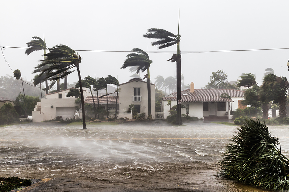
Most people would assume that Miami Beach will experience the worst of sea-level rise, flooding, and hurricanes. Yet experts say that inland areas are as vulnerable to sea-level rise due to South Florida’s porous limestone bed.
With that in mind, a team of University of Miami researchers used an innovative model to create more precise flood zone maps by taking a closer look at individual properties in cities across Miami-Dade County.
The model, called the Storm Surge Building Vulnerability (SSBV) model, was created by research associate professor Sonia R. Chao, who is director of the Center for Urban and Community Design (CUCD) at the School of Architecture, and Benjamin Ghansah, a researcher at CUCD.
“The SSBV model, which Benjamin and I created and developed, over nearly a three-year period, was made possible thanks to funding from the National Science Foundation several years ago,” said Chao, the lead author in the study. “The model permits a hyper-localized evaluation of building vulnerabilities, across various aspects, including finish floor elevation, construction type, and period, in relation to storm surge wave action.”
Since its creation, the SSBV has undergone some adjustments and improvements. Chao and Ghansah had the opportunity to alter the model when they collaborated on a U-LINK (University of Miami Laboratory for INtegrative Knowledge) project with colleagues from the Rosenstiel School of Marine and Atmospheric Science, the School of Communications and the College of Engineering.
“On that occasion, Benjamin and I were able to quantify the capacity of an enhanced coral reef in diminishing storm wave action and by extension, the reduced rate of destruction to buildings,” said Chao.
In the recent Applied Geography paper, which surveys the case study findings by Chao and Ghansah, UM Professor Richard Grant in the Department of Geography and Sustainable Development, joined the researchers to underscore the significance of—and how—the geographic information system (GIS) technology had been used to conduct a street-by-street analysis of buildings and their flood vulnerabilities in Miami Beach, East Little Havana, and Sweetwater.
Of the more than 1,200 properties analyzed in the study, the SSBV model evidenced that 97 per cent of high and very high vulnerability buildings are less than two stories tall, and three-quarters of these have slab-on-grade finished floor elevation. Generally, properties with low vulnerability were built with an elevated ground floor.
“This study takes a look with finer detail at the different structures in a flood zone area, because one property might be different from another and not every property can adapt to extreme climate change events,” said Grant. “With the SSBV model created by Dr. Chao, we can help implement new protocols for developing storm vulnerability maps in the future.”
The study also exposes the limits of the Federal Insurance Rate Map (FIRM), which discloses flood zones, insurance risk, and hazard areas. Developers and urban planners also can use the SSBV model when working with government entities to create new policies that promote housing and other structures that are resilient and adaptive to flooding and sea-level rise.
“Ideally, the insurance industry should consider what the SSBV model adds to FIRM,” said Grant. “Although FIRM designates hazard levels into zones, not every building in that zone is vulnerable, which encourages a reconsideration of how flood insurance rates are determined. The SSBV model reconstructs flood categories to individual building assessments.”
The study, “An exploratory model to characterize the vulnerability of coastal buildings to storm surge flooding in Miami-Dade County, Florida,” is now online in the journal Applied Geography.