If all goes well over the next six months, a pair of University of Miami researchers will provide the National Hurricane Center with something it has wanted ever since it started tracking tropical cyclones—a way to more accurately forecast storm intensity.
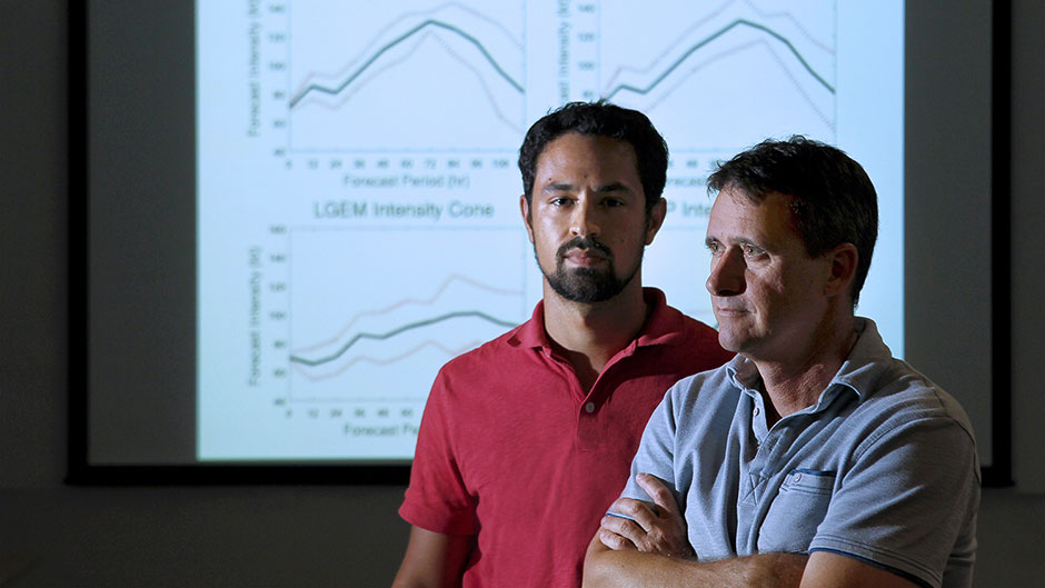
David Nolan, professor and chair of atmospheric sciences at UM’s Rosenstiel School of Marine and Atmospheric Science, and graduate student Kieran Bhatia will accomplish that goal not by flying through storms in a hurricane hunter aircraft, but with the use of technology. Throughout the 2015 Atlantic hurricane season, they will gather a wealth of data from four existing storm intensity models, feed the information into a computer, then produce results that show which of the four models performs best under certain conditions.
“Most people care about position, where a hurricane is going,” said Nolan, who studies the mechanics of hurricanes. “But intensity is a funny thing. It means the maximum wind speed that could be occurring anywhere within the hurricane. So it’s hard to measure.”
While forecasts predicting a storm’s path have improved considerably over the years, methods for projecting just how much a hurricane will bulk up have not advanced at the same rate, making it difficult for forecasters to issue reliable intensity projections. “By analyzing the forecasts of different storms, we’ll differentiate between ‘easy’ and ‘hard’ situations for intensity forecasts and use that information to lower the margin of error in predicting a storm’s intensity,” said Bhatia.
“What consistently gives the best intensity forecast is to take the average of those four models, which is called a consensus forecast,” explained Nolan. “But we’re proposing that we can make the consensus even better, because we can correct each model and tell you which one to give more weight to.”
Supported by a grant from the National Oceanic and Atmospheric Administration’s Office of Weather and Air Quality, which has invested substantial funds with university and federal researchers to advance hurricane forecasting, Nolan and Bhatia’s Prediction of Intensity Model Error study, or PRIME, got underway on June 2, kicking in just as the 2015 Atlantic hurricane season got underway.
If PRIME works, study collaborators Andrea Schumacher, a researcher at Colorado State University’s Cooperative Institute for Research in the Atmosphere, and Mark DeMaria, chief of the National Hurricane Center’s Technology and Science Branch, will implement the system in real time.
Bhatia, who has been fascinated by the field of meteorology ever since middle school, when he became curious about a weather radar kept in a classroom of one of his teachers, said PRIME could be the first of its kind. “There’s already a system that uses information from storms to produce forecasts of track error,” he said. “But predicting the error of intensity forecasts in real time is a first.”
To conduct their research, they will need a little cooperation from Mother Nature—to be more precise, a good sample of hurricanes from which to glean data, sans the destruction and loss of life, of course. Complicating the matter is a hurricane season that’s expected to be below normal. Forecasters with NOAA’s Climate Prediction Center have predicted six to 11 named storms, with three to six of them becoming hurricanes.
Should the projected slow hurricane season, which runs through November 30, affect the researchers’ ability to collect enough data, NOAA may allow them to extend their study for another year.
Nolan, whose interest in atmospheric science grew considerably when he took a meteorology class as a sophomore at Harvard, said PRIME, if successful and eventually adopted, could be a tremendous benefit to emergency management officials who often rely on wind-speed projections to issue evacuation orders.
