VIRGINIA KEY, Fla.—No one lives on them, but a group of atolls in the central Indian Ocean could teach coastal communities and island nations a valuable lesson about how to respond to sea level rise.
At least, that’s what a University of Miami researcher hopes to prove.
Sam Purkis, professor and chair of marine geosciences at the Rosenstiel School of Marine and Atmospheric Science, is studying some 20 uninhabited islands in the Chagos Archipelago, comparing then-and-now aerial images of the islets to see how they have changed over time in response to rising sea levels.
His research has already uncovered some surprising facts—among them, that the islands are not disappearing in the face of rising sea levels, but rather are undergoing natural dynamic changes, shrinking in some areas while growing in others.
“The net change in area over the last 50 years is nearly zero,” said Purkis. “What we’ve seen is that the coastlines move a lot, and with that, you can imagine that the freshwater aquifers, which are within the islands, change considerably. So, if you were to try to live on these islands, it would be very difficult.”
Though Purkis’s study will not publish until later this year, it already has important implications for low-lying island nations like the Maldives and U.S. coastal areas like Miami-Dade County, where sea level rise is a major concern. The coastlines of such inhabited regions have experienced changes on top of those that naturally occur. And those additional changes, Purkis said, are caused by humans.
Inhabitants of coastal areas often modify the shoreline, building revetments, seawalls, and other structures to prevent erosion. But the practice can have detrimental effects.
“You wouldn’t think that South Beach, for example, is behaving in a natural way just because of the way it’s been changed,” Purkis explained. “You might halt erosion in one place, but it might exacerbate erosion somewhere else, because you’re actually changing circulation, current, and sand and sediment patterns. So, we need to be cautious about how we intervene; it could make the erosion problem worse.”
Purkis—who as a boy became enamored with the sea after reading Jacques Cousteau’s 1953 book “The Silent World” and watching the famous explorer’s documentary film of the same name—likened his current Chagos Islands research to that of a natural laboratory.
Few places on the planet remain unoccupied. And, one of them is the Chagos Archipelago, home to more than 60 uninhabited tropical islands, except one—in the Indian Ocean about 310 miles south of the Maldives.
Five years ago, Purkis and a group of other scientists published the results of a study that focused solely on Diego Garcia in the journal Geomorphology. The investigation documented how the coastline of Diego Garcia, the largest and only inhabited island in the Chagos Archipelago, had changed over a 50-year period from 1963 to 2013.
What the scientists discovered, through aerial photographs obtained over that half-century span, is that Diego Garcia had undergone natural dynamic changes to its coastline. The changes were like those experienced by the 20 islands Purkis is currently investigating, with some of the most pronounced changes occurring on the island’s northeastern limb—which had receded—and in its southeastern portion—which had extended.
Just as he did for his Diego Garcia research, Purkis has made extensive use of aerial photography to study the shorelines of the 20 islands he is currently examining.
How he obtained the images is an adventure. Purkis became more of a private investigator than scientist, tracking down a former high-ranking U.S. military officer who commanded the bomber base on Diego Garcia. The officer had hundreds of aerial print photos taken of the archipelago some 50 years ago.
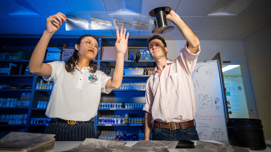
Purkis and his graduate assistant, Mingyue Wu, are comparing those vintage photographs, the resolution of which is outstanding, to current satellite images of the 20 islands. They are examining them closely to detect coastline changes over a five-decade period.
Wu, who is compiling most of the data for analysis, agreed with Purkis that the research is vital. “Will low-lying areas be inundated by sea level rise, or will they adjust?” she asked. “Those are some of the questions we hope to answer.”

