Sandwiched between two national parks, Miami-Dade County has a shortage of developable land, an intractable problem that puts affordable housing out of the reach of low- and moderate-income residents who already spend more than 70 percent of their income on housing and transportation.
Or so the thinking goes.
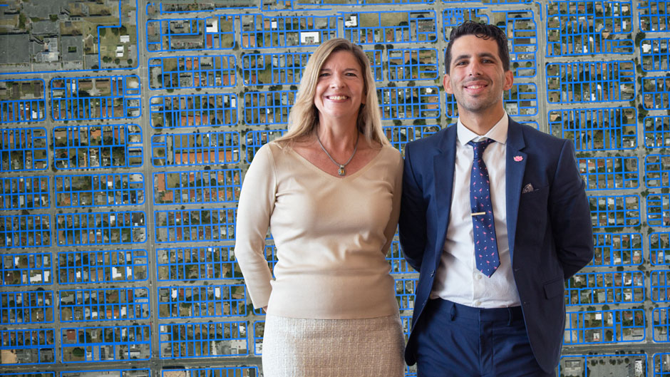
But that assumption was turned on its head Wednesday with the debut of a new, free, online mapping tool that, developed by the University of Miami’s Office of Civic and Community Engagement (CCE), identified more than 500 million square feet of vacant, unused, or underutilized land across Miami-Dade County and its 34 municipalities. That’s about the land mass of Manhattan.
Scattered across the county but concentrated in the central urban core, the thousands of parcels that make up that half billon square feet aren’t all developable. But, with a few, simple clicks of a mouse, the CCE’s interactive Land Access for Neighborhood Development, or LAND, mapping tool provides a snapshot of the location, size, and ownership of publicly or institutionally owned lots that could be assembled across jurisdictions and along transportation hubs to house low- and middle-income residents who are being priced or pushed out of the rapidly gentrifying housing market. Given South Florida’s low wages, they are burdened with one of the nation’s highest combined cost rates for housing and transportation, according to the Center for Neighborhood Technology’s Housing and Transportation Affordability Index.
“Our goal in developing this free tool is to show the incredible resources available across the county for the development of affordable housing,” said CCE director Robin Bachin, UM’s assistant provost for community and civic engagement who spearheaded the creation of the CCE-based Miami Housing Solutions Lab. “By being able to visualize this land, policymakers can more easily create evidence-based strategies for conveying land to promote housing affordability and equitable community development.”
Created in collaboration with UM’s Center for Computational Science and officially launched at the Miami-Dade Beacon Council on Wednesday, LAND was funded by a $100,000 investment from Citi Community Development, which is working with nonprofit and public agencies to forge innovative solutions for affordable housing.
“There is both a huge need and rising local support for innovative new approaches to affordable housing, but the missing ingredient has been access to developable land,” said Ines Hernandez, South Florida market manager for Citi Community Development. “By gathering this previously unavailable information and making it accessible to the public for the first time, this new LAND tool will unlock the tremendous opportunity for creating and preserving permanently affordable housing for families across Miami-Dade County.”
Automatically updated every two weeks with property records, LAND is designed to make it easy for planners, policymakers, land trusts, housing advocates, faith-based organizations and other nonprofits to identify parcels of land that could be conveyed and aggregated to make an affordable housing development feasible. It shows, for example, all the county-owned lots in a given city, or even in a given city or county commissioner’s district, allowing elected officials to identify opportunities for land swaps or collaborative efforts in their backyards.
Under Miami-Dade’s fractured governmental structure, that has long been a daunting, time-consuming, expensive task.
But in a recent demonstration, CCE’s director of programs, Jorge Damian de la Paz, a self-described “data nerd,” showed how simple it is to navigate and refine LAND’s data sets. He quickly identified a 13,000-square-foot parcel owned by the city of Miami that sits adjacent to a 25,000-square-foot lot owned by the county in one of Liberty City’s major commercial corridors. There are, de la Paz said, many cases of entire city blocks owned by multiple public agencies. He also identified nearly 800,000 square feet of surplus land owned by the county that is available to be conveyed.
LAND also has a public transportation overlay that identifies underused parcels that are not only near current Metrorail stations, bus lines, or other transit hubs, but are near the future transit hubs envisioned by the county’s SMART transit expansion plan.
And, for the first time, LAND shows the full range of potentially aggregable lots by mapping the unused or vacant lands owned by faith-based organizations and large anchor institutions, such as hospitals and universities. In all, LAND found that faith-based organizations own 700 vacant or underutilized lots, or about 13 million square feet, of underused land across Miami-Dade.
That’s important because, elsewhere, churches are becoming important players in providing affordable housing. As de la Paz noted, their overflow parking lots, which are often used only on Sundays, can be developed with the right partners into garages, and topped with affordable housing for their congregants or neighbors.
Coupled with other assets in the CCE’s Miami Housing Solutions Lab, the LAND tool is designed to inspire such creative ideas for underutilized land, especially for the many non-conforming, irregularly shaped, and poorly zoned lots that LAND has mapped for the first time.
But the real beauty of the LAND tool is you needn’t be a data nerd to use it. It is, de la Paz said, much simpler to navigate than the CCE’s signature Miami Affordability Project, or MAP. A first-of-its kind, open-access, research tool launched in 2015, MAP enables users to visualize the distribution of affordable housing, housing needs, and cost burden across South Florida. But it has more than 200 filters. In contrast, LAND “tells you everything from the jump.”
“We were very deliberate in making this tool as lean as possible,’’ said de la Paz, who created LAND with the Center for Computational Science’s Chris Mader, Julio Perez, and Sreeharsha Venkatapuram. “You just have to click on what you are interested in.”
As Bachin added, “If you have the time, the tools, and the know-how to find it, the data in LAND is already publicly available, but by doing all the hard work for you, we are democratizing the information that was previously available only to the few who have the resources to track it down.”

