The powerful winds pushed seawater ashore, flooding roadways. Strong winds downed utility poles and wires, plunging multiple areas into darkness. And residents hunkered down, waiting for the worst to pass.
Impacts of a tropical storm? South Florida and Gulf Coast residents who have experienced Atlantic hurricanes would certainly think so.
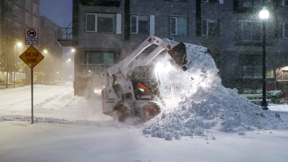
But in this case, such conditions were produced by the supercharged winter storm that pummeled the Northeast over the weekend.
The strong nor’easter created blizzard conditions across multiple states; sent temperatures plunging, with some wind chills dipping below zero; and produced record snowfall and whiteouts in several cities, causing flight cancellations and delays.
A long-range forecast tool developed by a University of Miami atmospheric scientist recorded early signs of the storm nearly a month before it hit.
Composed of multiple global models from the National Oceanic and Atmospheric Administration (NOAA), the U.S. Navy, NASA, Environment Canada, and others, the Subseasonal Experiment, or SubX, “captured indicators of the storm as much as three weeks in advance,” said Ben Kirtman, a professor at the Rosenstiel School of Marine and Atmospheric Science and director of the Cooperative Institute for Marine and Atmospheric Studies (CIMAS).
The storm turned into a bomb cyclone Saturday.
“When a nor’easter undergoes rapid intensification, like this one did, it can be called a bomb cyclone,” said Emily Becker, associate director of CIMAS. “Any midlatitude storm can be a bomb cyclone—a few have even occurred along the West Coast this winter,” she said.
But just what are nor’easters and bomb cyclones and how treacherous are they? Brian McNoldy, senior research associate at the Rosenstiel School of Marine and Atmospheric Science, answered a few questions about the storm.
What’s the difference between a nor’easter and a bomb cyclone? Or are they the same?
Not all nor’easters are bomb cyclones, and not all bomb cyclones are nor’easters. A nor’easter is an old slang term used to describe a strong storm system off the U.S. East Coast. They tend to form off the southeast coast (Florida, Georgia, the Carolinas) then rapidly intensify as they move north. The Northeast U.S. generally gets winds out of the northeast from them, hence the term. If the central pressure of the low drops at a fast enough rate—at least 24 millibars in 24 hours—then it qualifies as a bomb cyclone.
How did the name bomb cyclone originate?
The term bomb cyclone was introduced in the meteorology literature in 1980, and they described it simply as a “predominantly maritime cold-season event.” They are by no means limited to the Northeast U.S. coast. Both terms refer to an extratropical cyclone, as opposed to something like a hurricane, which is a tropical cyclone.
Why are they so dangerous?
Bomb cyclones are dangerous whether they are near land or not. Over the open ocean, they present a big hazard for ships. And near land, they create harsh conditions including strong winds, heavy snow, and coastal flooding. The aspect that makes them particularly dangerous is their rapid development. It can be easy to get caught unprepared or in a dangerous place if you’re not paying attention to forecasts.
How is the nor’easter responsible for the unusually frigid weather we’re experiencing in South Florida?
The nor’easter is not directly responsible for the cold air that poured down the Florida peninsula over the weekend. It is a low-pressure system that developed in association with a very deep trough over the eastern United States. But the air that came down behind an Arctic cold front managed to not pass over the warm Gulf of Mexico or Atlantic Ocean before reaching us. The air that we experienced on Sunday morning was way up in northwest Canada five days prior and traveled directly down the spine of the Florida peninsula to get here.