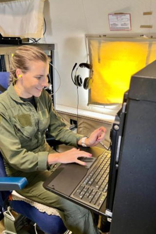
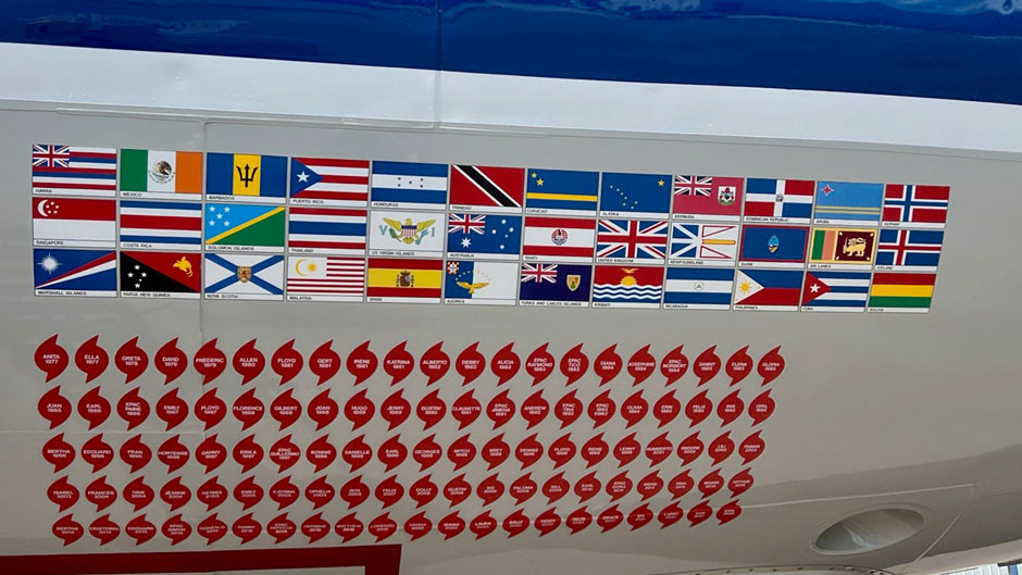
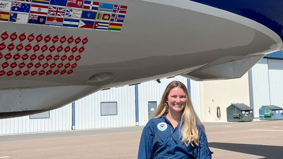
Thirty thousand feet in the air, the ride started to get a little bumpy, making it a bit unsteady for crewmembers to walk about the cabin. So, Samantha Camposano and the other scientists securely fastened their seatbelts, as Miss Piggy, the nickname for the P-3 Orion aircraft in which they were flying, flew deeper into the heart of Hurricane Fiona.
“Certainly, the most turbulence I have ever experienced,” said Camposano, a senior research associate at the University of Miami’s Cooperative Institute for Marine and Atmospheric Studies (CIMAS). “But using our radar, we were able to anticipate where the worst of the turbulence would be—mostly in the eyewall of the storm.”
With the Atlantic hurricane season now at its peak, and as a strengthening Hurricane Ian continues its trek toward Florida’s West Coast, the University’s tropical cyclone experts are playing a vital role in helping forecasters to predict the path of storms, flying onboard National Oceanic and Atmospheric Administration (NOAA) Hurricane Hunter aircraft to record critical data on windspeed and direction, central pressure, temperature, and humidity.
Camposano flew on three missions into Fiona, watching the storm’s metamorphosis into a menacing major cyclone that would batter Puerto Rico and other parts of the Caribbean before pummeling coastal towns in Canada.
The longest flight lasted eight hours, a marathon mission during which she recorded data that will also be used for ongoing tropical cyclone research.
NOAA’s squadron of Hurricane Hunters, which includes modified Orion aircraft and a high-speed Gulfstream IV jet, are literally flying weather stations, equipped with every kind of storm-monitoring instrument imaginable, said CIMAS scientist Jason Dunion, a veteran of dozens of flights.
“We’re a weather station in the sky, obtaining data on pressure and temperature, winds and humidity. These flight missions give us all the ins and outs, not only of the storm and the core of it, but also the surrounding environment and how that might affect the storm,” said Dunion, who is leading this year’s Hurricane Field Program, a collaboration between CIMAS, which is part of the University’s Rosenstiel School of Marine, Atmospheric, and Earth, Science, and NOAA’s Hurricane Research Division.

One of the most high-tech instruments aboard the Hurricane Hunters is the Tail Doppler Radar (TDR). “It’s been around for a while, but we’re starting to use it in smarter ways,” Dunion explained. “It’s on all three of our aircraft. It gives us an X-ray shot of what the winds in a hurricane look like, from the core of the storm all the way to almost the surface near the ocean up to the very top.”
During a recent deployment for tropical cyclone Earl, Rosenstiel School Ph.D. student Kerri Englert assisted in monitoring the TDR, making sure it was functioning and scanning correctly and transmitting the data it gathered to scientists on the ground for analysis.
She also processed data from dropsondes, weather devices that are deployed from aircraft and stabilized by a small parachute.
Englert participated in several missions into Earl, flying out of Barbados for four days and then redeploying to St. Croix in the U.S. Virgin Islands—all the flights occurring on the night shift. “We were usually airborne around 1:30 in the morning, and we would fly until 11:00 a.m. That was our day. And then we’d rinse and repeat,” she said.
As meticulous as the planning is that goes into building a flight plan, matters don’t always go smoothly, Englert said. “Earl started to curve further to the north, maybe slightly earlier than we anticipated, which is why we ended up repositioning to St. Croix,” she explained.
A satellite communications outage during one flight also challenged her team during that deployment. “But we go with the flow and stay on your toes,” she said. “That’s just the nature of flying such dynamic missions.”


